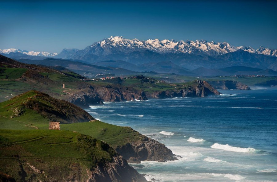



We are going to let you in on a secret. Green Spain is not only green: it is also exceptionally lush. And that is not all: it also has narrow valleys and gorges where cycling—or hiking—is possible even when the sun is beating down and the heat is intense. We have selected four Greenways so that cyclists and walkers can venture into the most unexpected corners of our landscapes.
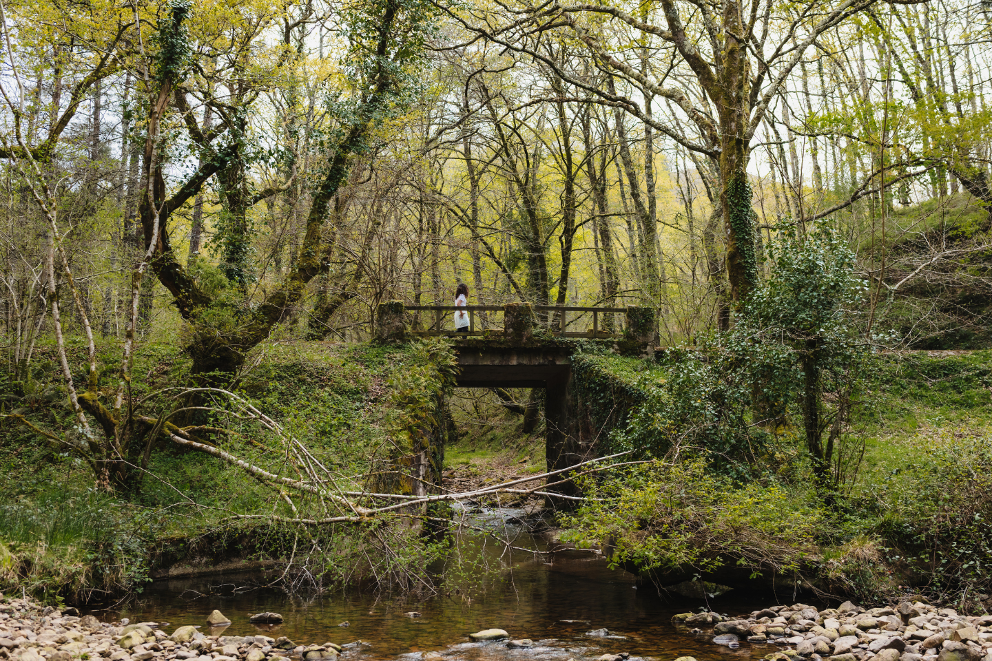
Besaya Greenway. Cantabria.
Originally built as a railway line exclusively for mining purposes, who could have told the promoters of the train serving the Reocín mines that, in the 21st century, its route would no longer transport hydrozincite, sphalerite or pyrite, but plenty of bicycles and hikers’ backpacks instead?
Some practical information about the Besaya Greenway—which is always useful to know
The complete Besaya route covers around twenty kilometres, eight of which—the inland section—belong to the greenway, while the remaining twelve follow a cycle and pedestrian path through the areas closest to the coast. In other words, 40 kilometres in total when travelling there and back, making it an ideal route for a morning of leisurely cycling. Most of the route has an asphalt surface, although there are some sections of compacted earth suitable for all types of bicycles.
What landscapes does the Besaya Greenway pass through?
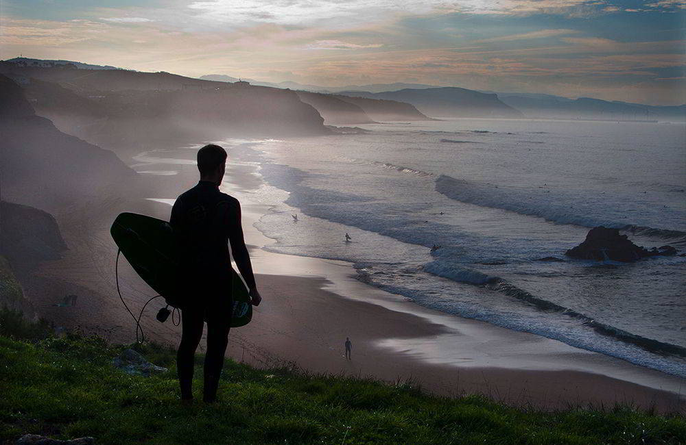
The answer is simple: almost every landscape you could imagine finding in Cantabria, from the marshlands at the mouth of the River Saja to the rocky peaks of the modest Dobra mountain range, passing through the former industrial landscape of Torrelavega, the idyllic meadows surrounding Los Corrales de Buelna and the remains of the mining activity in Reocín, now recognised as a landscape of cultural interest. Once in Suances, the range of landscapes bursts into life and the possibilities multiply: cliffs, beaches and small islands.
What should I not miss on the Besaya Greenway?
Two small inland gems such as Cartes and Riocorvo, two towns designated as Assets of Cultural Interest because of their historic ensembles, as well as the Sanctuary of Nuestra Señora de las Caldas, its thermal tradition and the extraordinary setting in which it stands, the Hoz de Caldas gorge. The industrial origins of this route should not be forgotten, so it is worth appreciating the experience of passing through the former facilities of the San Martín de Hinojedo mineral loading dock, among the skeletons of its former industrial activity.
Go on, tell me a fun fact about the Besaya Greenway…
Although the Greenway does not reach the tip of Punta del Dichoso in Suances, it is worth heading to this rocky arm that stretches out into the Cantabrian Sea to watch the spectacle of the waves. And that is not all: it was here that the popular rock band Héroes del Silencio were photographed for the cover of one of their albums, ‘El mar que no cesa’. Search for the cover on Google and see whether you can find the exact location where the photograph was taken. Good luck!
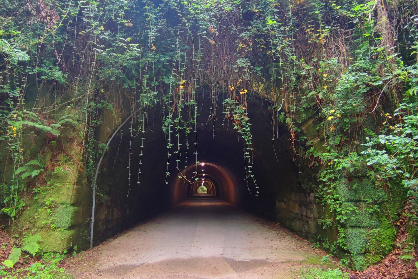
Plazaola Greenway. Gipuzkoa, Basque Country
The route of a former narrow-gauge railway winds between beech- and oak-covered hillsides in the least populated areas of Gipuzkoa. Originally built to transport iron ore and later converted into a passenger railway, it is now one of the longest and most distinctive green routes in northern Spain, suitable for walkers, cyclists and even horse riders.
Some practical information about the Plazaola Greenway—which is always useful to know
The original route was long—84 kilometres between Pamplona and San Sebastián, and the entire route is now in the process of being restored—but we will focus on the section in Gipuzkoa, which begins in Andoain and reaches the ‘muga’—‘border’ in Basque—with Navarre. In total, it consists of more than twenty winding kilometres—add another 20 for the return journey—whose design owes very little to human intervention: the greenway simply runs alongside the River Leitzaran, the cleanest river in Europe. Except for a couple of gradients of more than 10% that bypass the original route, the trail presents no difficulties: sections of asphalt alternate with compacted earth, with plenty of shaded stretches, always protected by the dense riverside woodland of the Leitzaran. One final piece of advice! Although many of the tunnels are illuminated, it is always advisable to carry your own lights so that you can see and, very importantly, be seen.
What landscapes does the Plazaola Greenway pass through?
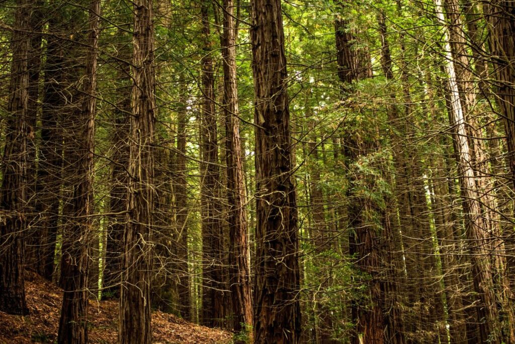
The Plazaola began as a modest 20-kilometre mining railway connecting the iron mines of the same name, near the border between Navarre and Gipuzkoa, with Andoain railway station, and it entered service in 1905. In 1914, it was extended to complete an 84-kilometre line between Pamplona and San Sebastián, which operated as a passenger railway until the middle of the 20th century. We said that the Leitzaran is the cleanest river in Europe because there are no settlements along its banks: the result is 20 kilometres of peace, broken only by birdsong and the murmur of the water. The route alternates between meadows and native forests of oak, beech and riverside alder woodland, as well as replanted pine forests within a protected biotope.
What should I not miss on the Plazaola Greenway?
Here, the question should be a different one: what should I not forget? It is essential not to forget everything you need to be completely self-sufficient during the route, because the former railway line does not pass through any settlements and there are no escape routes—well, there are, but you have to overcome steep gradients to climb out of the deepest part of the valley—during the first 25 kilometres. It is therefore advisable to carry food, water—although there are fountains and springs—and tools for dealing with possible mechanical problems.
Go on, tell me a fun fact about the Plazaola Greenway…
In 1911, during the Paris–Madrid air race, the French aviator Roland Garros—after whom the legendary tennis tournament would later be named—suffered an accident beside the river, among some rocky cliffs near Andoain. After taking off from Ondarreta beach on his way to Getafe, and following an initial emergency landing in Usurbil because of engine problems, Garros crashed his aircraft into the river. The aviator was rescued by residents of Andoain, who also helped recover the remains of the aircraft before transporting them to the town’s railway station.
Senda del Oso Greenway. Asturias
Some practical information about the Senda del Oso Greenway—which is always useful to know
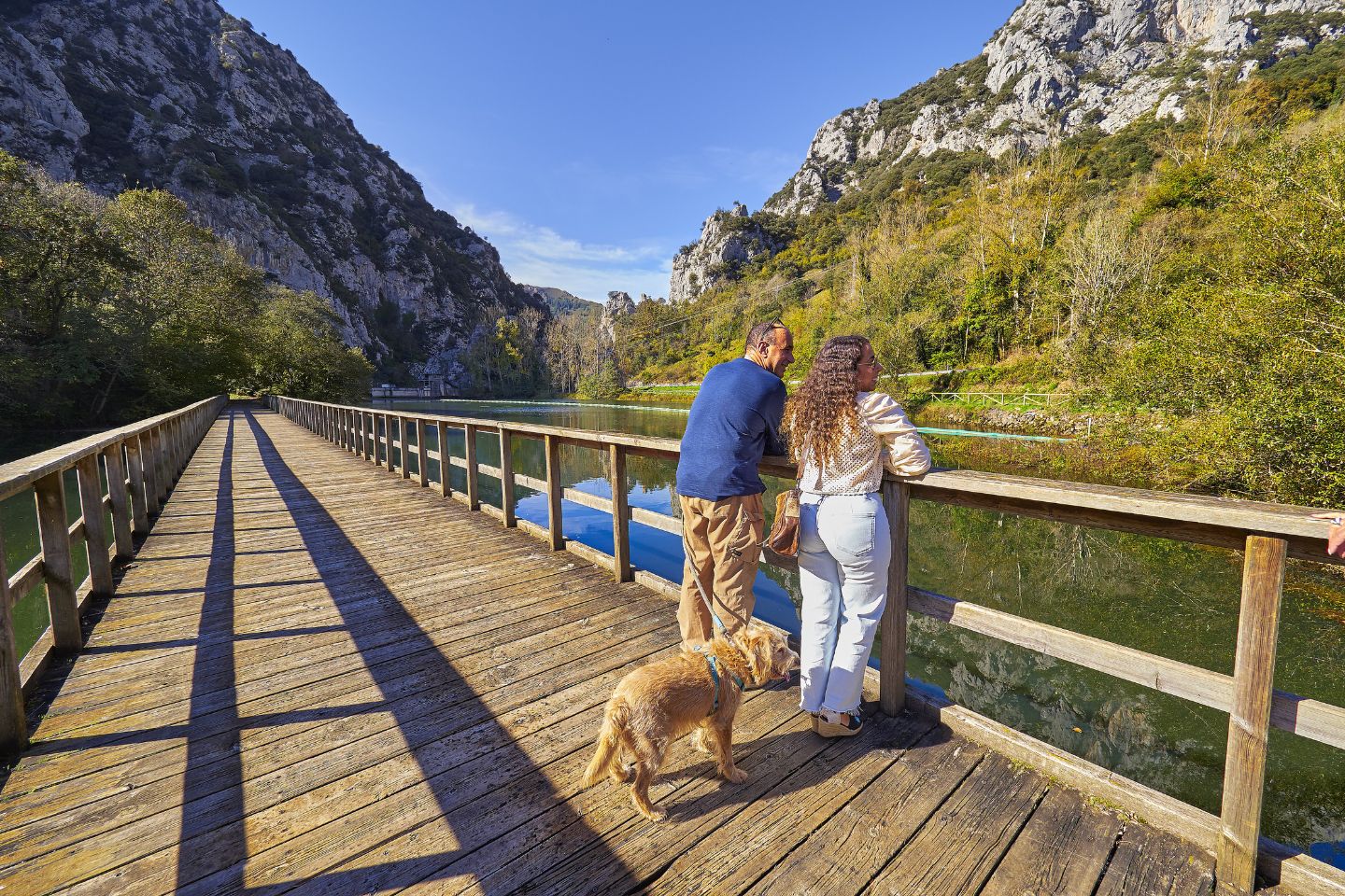
Anyone who wants to cycle for a good while without the company of cars has an easy option: the Senda del Oso is approximately 36 kilometres long, with an asphalt surface and tunnels carved directly through solid rock. The difference in elevation between the start and the finish is barely 300 metres, making it an accessible route for cyclists of any level. Do the 36 kilometres seem excessive, and would you like a shorter version that involves less cycling or simply walking? It is very easy: the section connecting Tuñón and Proaza takes barely a couple of hours and includes many of the route’s main attractions.
What landscapes does the Senda del Oso Greenway pass through?
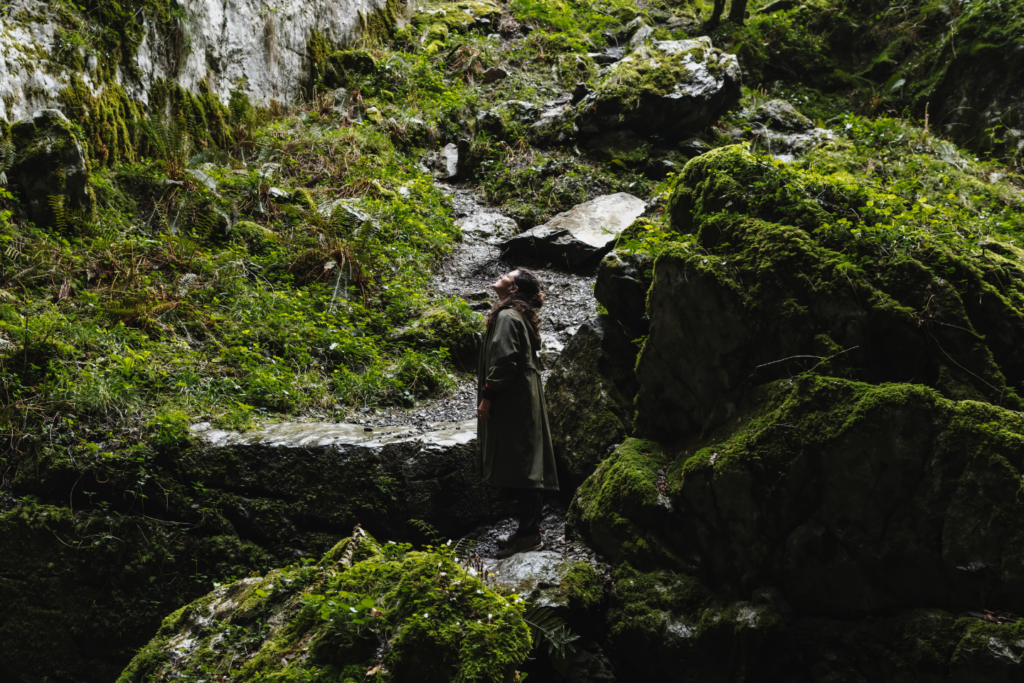
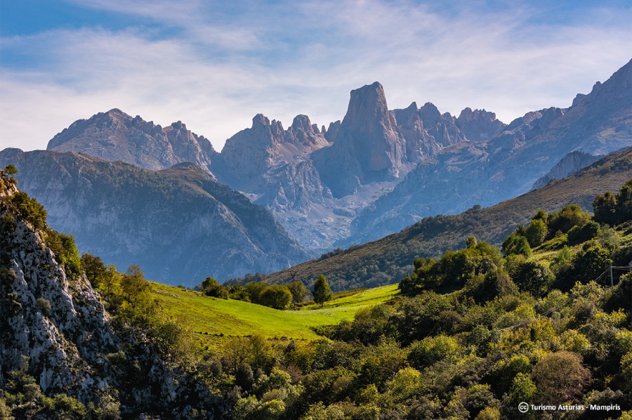
The trail follows the route of two former mining railways: one, dating from 1874, connected the iron and coal mines of the Quirós valley with Trubia railway station along a 30-kilometre route, and it was later joined by another 10-kilometre branch connecting the Teverga mines with Caranga de Abajo, creating its characteristic Y-shaped layout. The ingredients of the greenway are easy to describe: water, rock and forest. There are sections of riverside woodland, with poplars, ash trees and alders providing shade beside the River Trubia, as well as more rugged scenery in gorges such as Peñas Juntas and Valdecerezales, where the limestone walls narrow until they almost touch above the riverbed. A long illuminated tunnel, the bridge over the River Trubia and several walkways crossing streams and channels complete a route that also overlooks the Valdemurio reservoir and villages with traditional architecture.
Go on, tell me a fun fact about the Senda del Oso Greenway…
The name of the route is no coincidence. Beside the Buyera recreational area is the bear enclosure, a large fenced area where Molina the bear lives in semi-freedom under the care of the Asturias Bear Foundation. But the most moving story is that of its two other protagonists: Paca and Tola, two sisters who were orphaned at barely five months old after their mother was killed by a poacher. In 1996, they returned to Asturias to live on a fenced hillside adapted especially for them, where they remained until their deaths in 2018 and 2025, having become symbols of the protection of Asturian wildlife.
O Salnés Greenway. Pontevedra. Galicia.
The O Salnés Greenway runs between the Arousa estuary and the fertile plain of the River Umia, and it is the first greenway to run entirely through Galicia. And that is not all: it is very young, having opened in 2020 along the route of the former railway connecting Vilagarcía de Arousa with Pontevedra. It crosses three municipalities in the province of Pontevedra and combines landscape, industrial history and heritage in a short but exceptionally intense route.
Some practical information about the O Salnés Greenway—which is always useful to know
The route is approximately 9 kilometres long, around 8 of which follow the former railway line, with the remainder running along an asphalt section leading to the former railway station in Portas. As is usually the case with former railway lines, there is practically no elevation change, and the fully signposted surface combines compacted earth with several asphalt sections, making it suitable for both walking and cycling, even with children.
What landscapes does the O Salnés Greenway pass through?
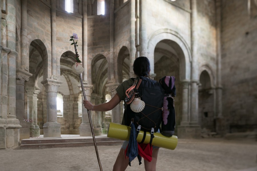
The route reuses part of the railway line that connected Carril—the first railway terminus in Galicia—with Pontevedra in 1899, and which fell out of use in 2008. The greenway crosses the municipalities of Vilagarcía de Arousa, Caldas de Reis and Portas. It also connects with the Portuguese Way, so it is not unusual to come across pilgrims using this comfortable corridor to take a break from their journey, attracted by the charms—gastronomic ones, for example—of the coastal towns of O Salnés.
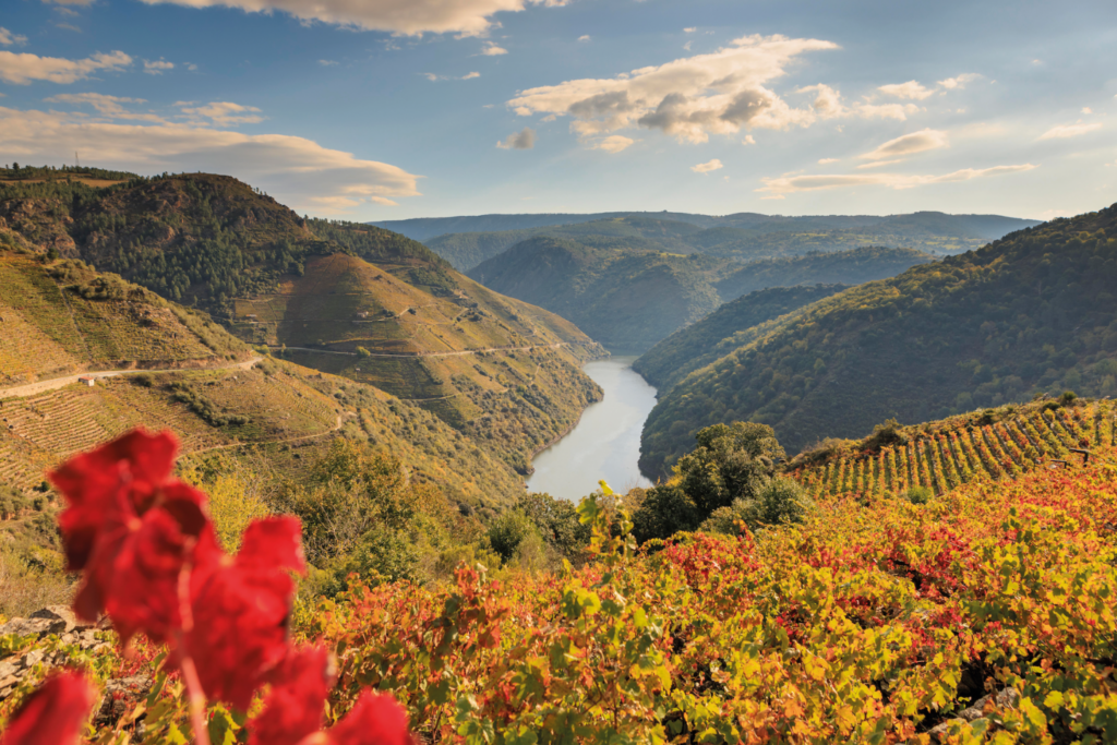
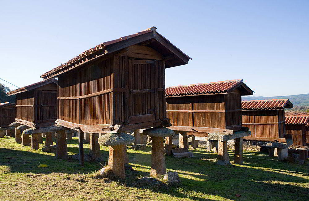
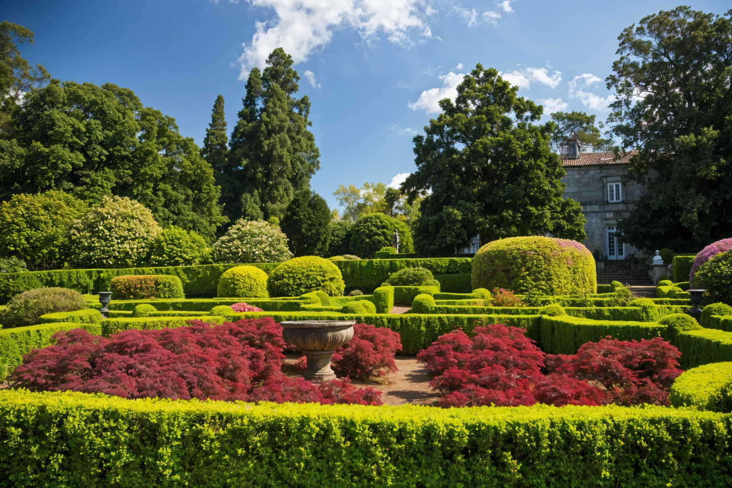
The route offers an extraordinary variety of scenery for so few kilometres: deciduous forests, Albariño vineyards—the wine that reigns supreme here—smallholdings dotted with raised granaries and sheds, and streams that are crossed several times along the way. One of its main attractions is the section passing beside the Pazo de Rubianes, with its French-style garden recognised as an International Camellia Garden of Excellence, containing thousands of specimens and some of the oldest eucalyptus trees in Galicia. Further along, the metal bridge over the River Umia offers another of the route’s most frequently photographed viewpoints.
Go on, tell me a fun fact about the O Salnés Greenway…
The end of the route—quite literally as sweet as it could possibly be—holds its most unusual surprise: the former Portas sugar factory, one of the most notable examples of early-20th-century Galician industrial heritage. It was built after the loss of Spain’s last colonies in 1898 cut off the supply of sugar from Cuba, encouraging the establishment of sugar factories on the Iberian Peninsula. Today, the factory’s former chimney, which stands 65 metres high, has been transformed into a viewpoint overlooking the Salnés valley, while the restored building accommodates uses as varied as a nursery, a children’s play centre, a senior citizens’ centre and an exhibition hall.